Click Here for the full article.
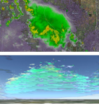
Recent applications have greatly increased the ease of development and ubiquity of 2-D maps. Tools like Microsoft® Live Search Maps and Google Maps offer a wealth of tools for enhancing these single-plane maps, but often ignore altitude as the third dimension of information. This article presents tools and code to allow you to extract height information based on pixel colors, and apply that height information across the mapping context. The end result is a third dimension of data, showing more information in the same space and opening up new methods of visualization for your map users.
Original
link at IBM developerworks. Please use the cached copy if the link is dead.